Printer-friendly PDF
Learning Through Places
Neighborhood Subdivision: The Beman Triangle, Middletown
Where is Middletown?
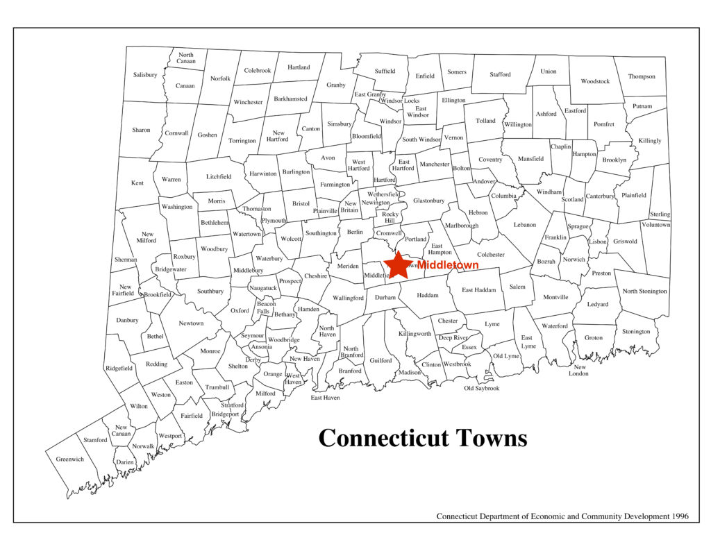
Look at the first map.
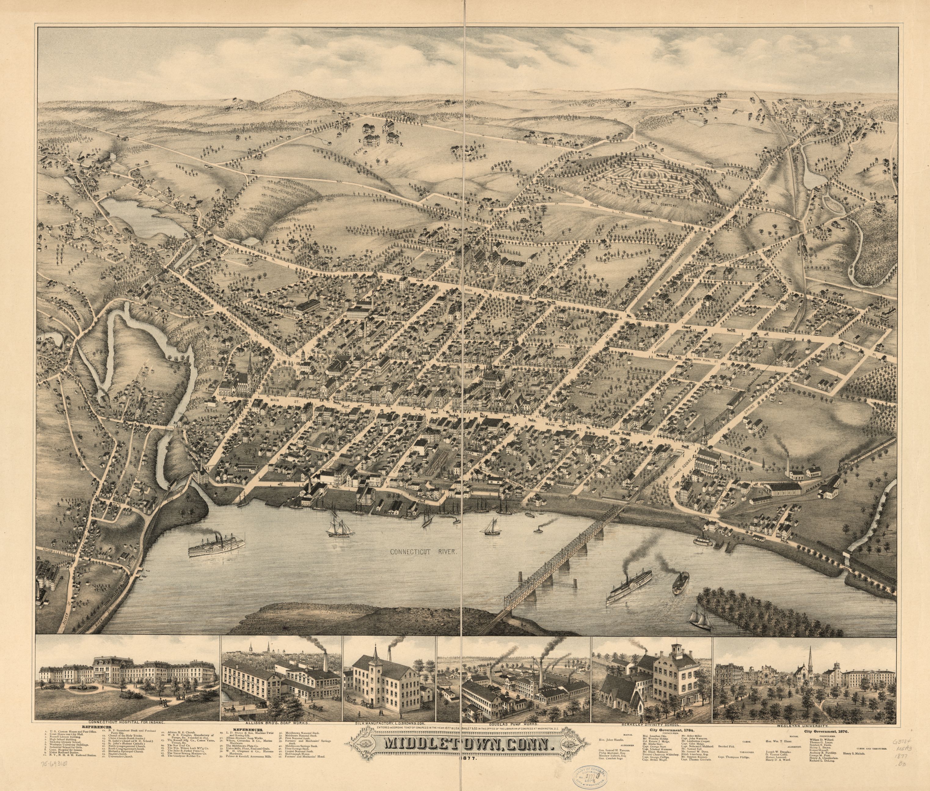
Map 1. This kind of map is called a “bird’s eye” map. Can you tell why? It’s from 1877. UConn MAGIC
Is the City of Middletown on a river or the ocean?
Is it a large city with many buildings or a small town with only a few buildings?
Do you think there is one neighborhood or many neighborhoods?
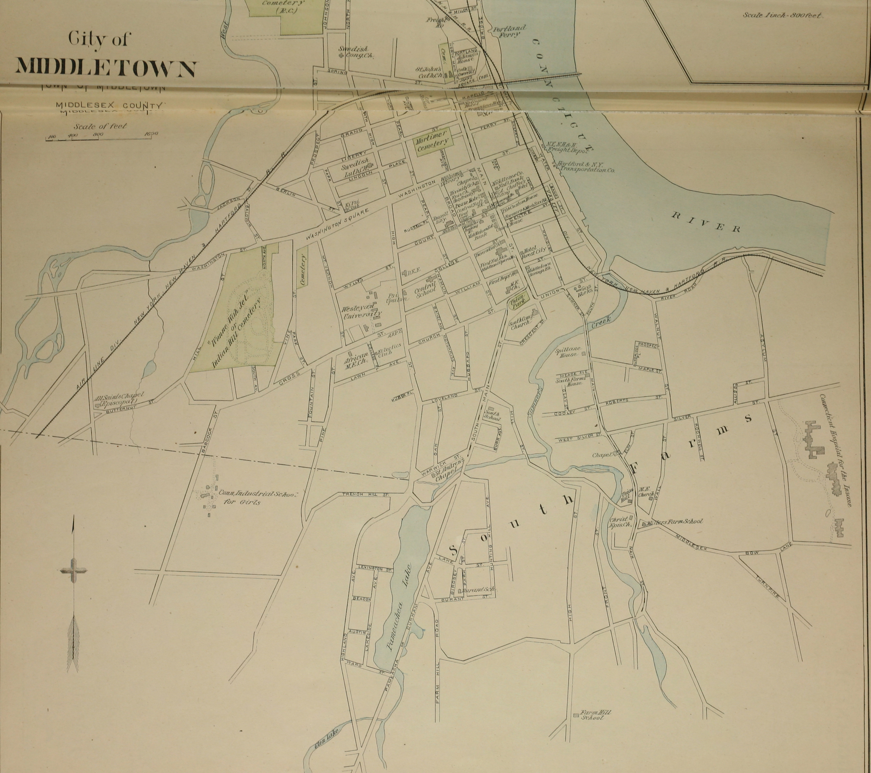
Map 2: Middletown Atlas map, 1893, detail. Courtesy UConn MAGIC
Look at the second map. Can you find the Beman Triangle?
Is the Beman Triangle close to the river and Main Street? Or far away?
Is there a college close by?
Can you find a cemetery on the map?
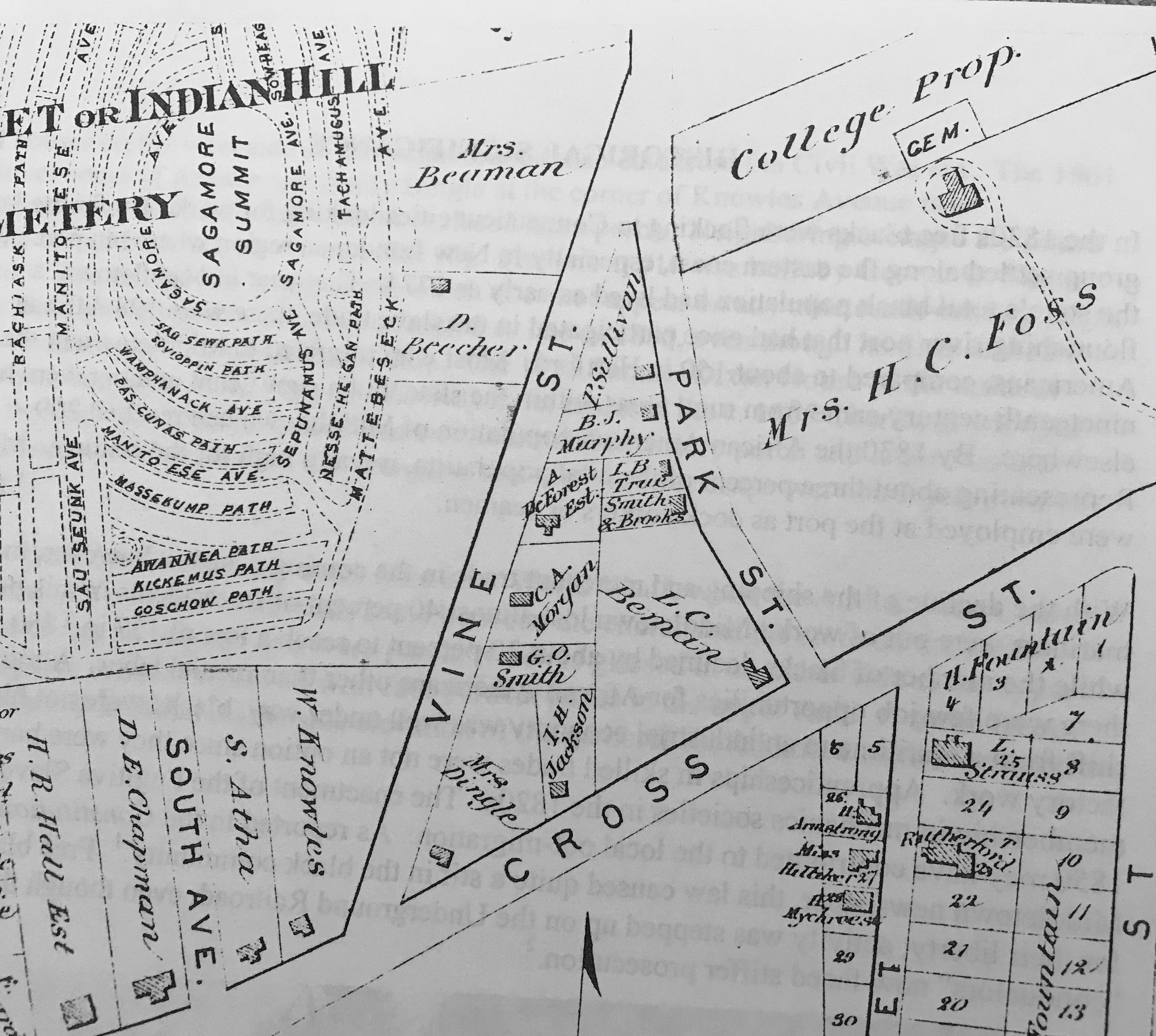 Look at the third map.
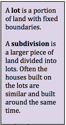
Are the lots large or small?
Whose name is on the largest lot?
Let’s learn about this place!
 The Beman Triangle Neighborhood
This neighborhood may be the first in Connecticut created by a free black man for other black homeowners. Leverett Beman created it in 1847. Black families were not always welcome to buy homes in neighborhoods then. This did not just happen in Middletown. It happened across the country.
The neighborhood is near a downtown, and a large university. It is a small neighborhood. It was once part of a farm. The houses are small and made of wood. Some of them had two families living in them.
Who was Leverett Beman?
Leverett Beman was the grandson of Caesar Beman. Caesar had been enslaved in Colchester. Caesar became free after he fought in the Revolutionary War. Leverett’s father was Reverend Jehiel Beman. He was the first pastor of the Cross Street A.M.E. Zion Church in Middletown. The church became known as “the Freedom Church” because its members worked to end slavery.
Rev. Beman was also a shoemaker. Leverett was a shoemaker like his father. They had a small shop together. Leverett was successful enough to buy land in Middletown.
How did the Beman neighborhood get there?
There were about 130 African Americans living in Middletown in 1847. Leverett decided to do something to help them own homes. He bought land at the bottom of a steep hill. The area was near an area called Dead Swamp.
The land was shaped like a triangle. Leverett divided it into 11 lots. The lots were different sizes. In 1847 he submitted his plan to the City of Middletown. The city approved the plan.
Leverett began selling those lots. Some of the original houses are still standing. Today, most of the properties are owned by Wesleyan University.
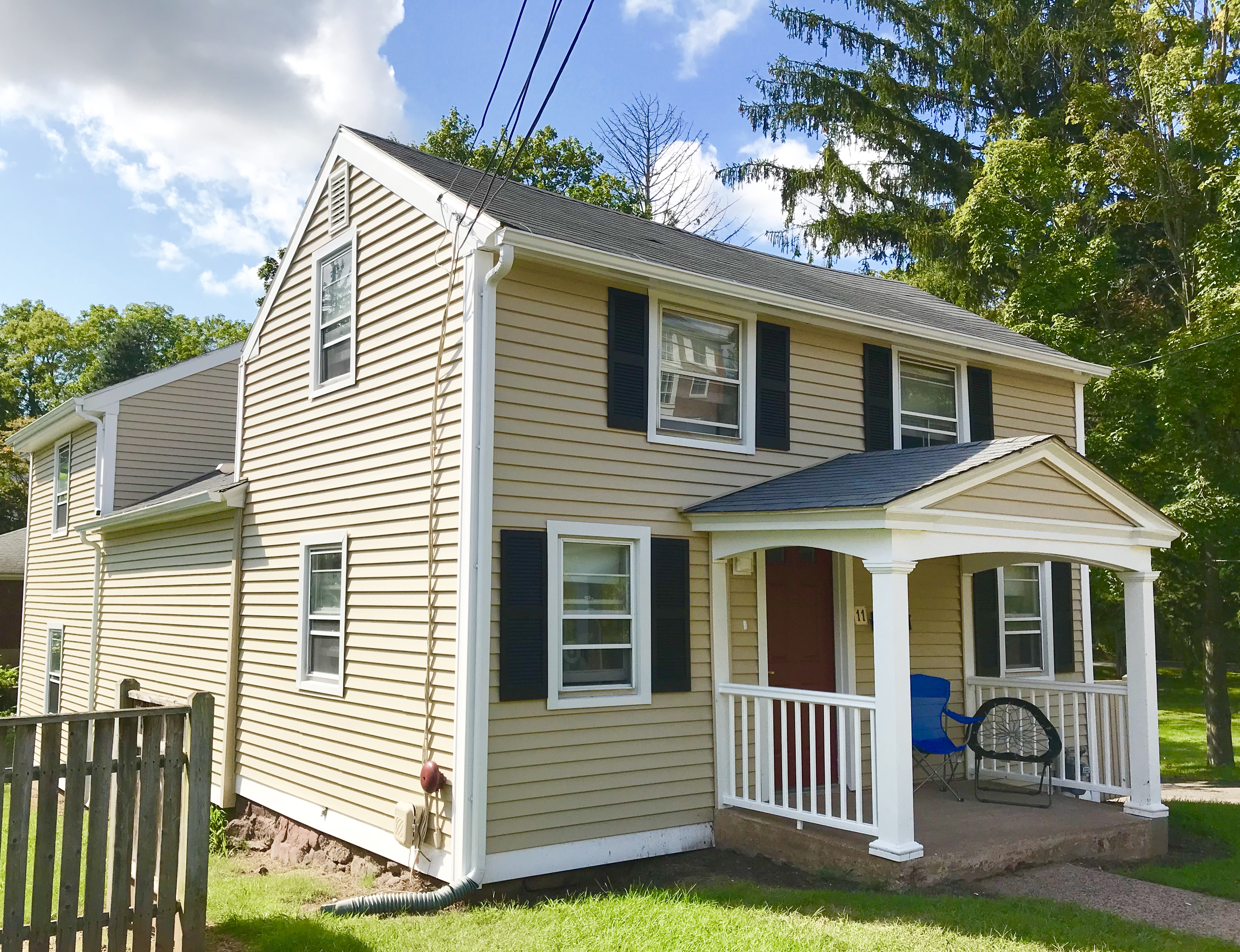
The Truitt family’s house in the Beman Triangle neighborhood, Middletown. photo: Mary Donohue
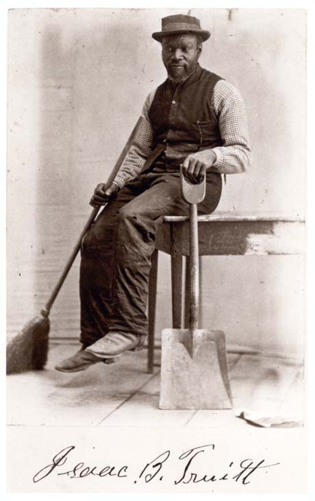
Isaac Truitt from a class album, 1870, Wesleyan University Library, Special Collections & Archives
The growing neighborhood was home to remarkable African Americans. Isaac Truitt, his wife, and daughter were born in Delaware. The family moved to Middletown in about 1853. Isaac later fought in the Civil War. Other residents were Civil War veterans, too. They all fought in black-only military units. Truitt worked for Wesleyan University as a chimney sweep for many years.
The Beman family were leaders of the anti-slavery movement. Clarissa Beman founded the Middletown Colored Female Anti-Slavery Society in 1834. Amos Beman, Leverett’s brother, was the pastor of the Temple Street Congregational Church in New Haven. He often represented Connecticut at national anti-slavery meetings.
On Your Own
-
Take a walk around your block or neighborhood. What types of buildings do you notice? Do the buildings all look similar or very different? Look for clues that tell you whether they are old or new. Is there a building in your neighborhood that you wonder about? Is it historic? Is it important to the people who live in your neighborhood? Find out about it. Find out what is it used for.
-
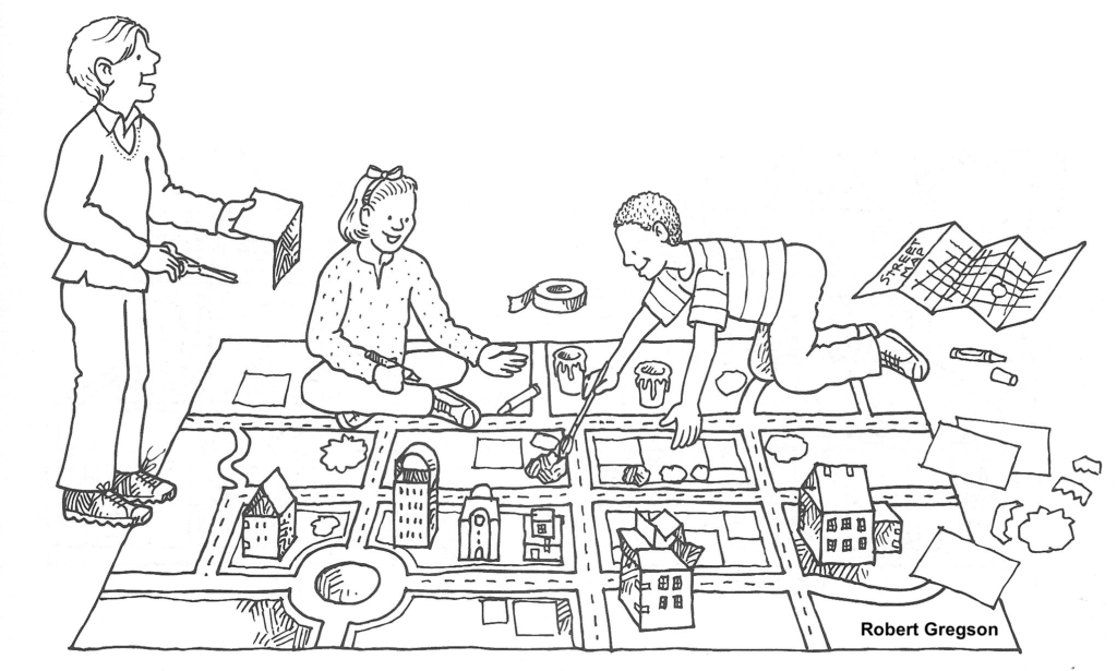
Pretend you’re a drone (or a bird)! Draw a map of your neighborhood as if you are flying overhead. Include houses, shops, churches, parks, and businesses. Where is your house? Why do you like living there? You can do this as a class and make a big map on mural paper on your classroom floor.
-
Plan a neighborhood:
-
Make a list of what you think makes a good neighborhood. What type of house do you want? Is it on a big piece of land or a small lot? What is next to your house? Where is your school? Where do your friends live?
-
Make a drawing of your neighborhood as if you were flying over head. Think about where roads and sidewalks should go. Is there a river or brook? If so, you might need a bridge.
-
Turn your list of what makes a good neighborhood and your drawing into a poster that explains what you think a great neighborhood would look like.
-
Pretend your class is the town committee that approves new neighborhoods. Make a speech to convince them to approve your neighborhood plan.
(c) Robert Gregson. Used by permission


 Look at the third map.
  The Beman Triangle Neighborhood

